The ground beneath parts of Katy has dropped about 14 inches since 2007, and the surface water system built to slow that sinking has not yet reached local homes.
A monitoring station in the Katy area recorded approximately 14 inches of subsidence between 2007 and 2025, according to Harris-Galveston Subsidence District data cited in a Click2Houston report published Nov. 6. The district's data also show significant subsidence in parts of north and west Harris County.
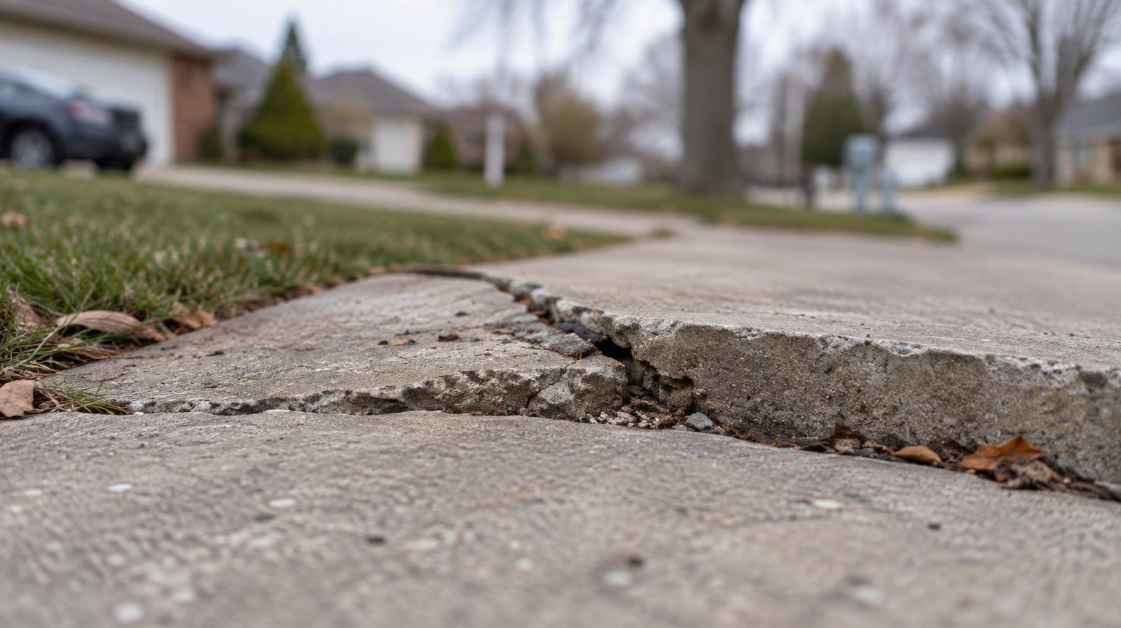
Subsidence is the gradual sinking of the ground surface. Across the Houston region, groundwater pumping is a major contributor. As water is drawn from underground aquifers, surrounding sediments compact and the land above drops. The consequences can include increased flood risk, damage to roads and infrastructure, and foundation problems.
Katy still waiting on surface water
The West Harris County Regional Water Authority (WHCRWA) and the North Fort Bend Water Authority are building the Surface Water Supply Project, which brings treated water from Lake Houston through pipelines and pump stations into the regional system. Eric Hansen, WHCRWA board president, said the project can deliver roughly 150 million gallons per day across the region, according to Click2Houston.
The system's Central Pump Station began pumping treated surface water on June 2, according to a WHCRWA announcement. The authority is delivering surface water to 69 water plants and has built 81.9 miles of internal distribution lines, according to the WHCRWA website.
Katy residents are not yet receiving surface water through the project, Hansen said. Communities on the authority's eastern side are being converted first because they are closer to the water source and less expensive to serve. The authority is expanding west and north as infrastructure is built.
Hansen encouraged residents to contact their local water provider to ask about plans and timelines for connecting to surface water.
The 2035 deadline
The Harris-Galveston Subsidence District, created by the Texas Legislature in 1975, regulates how much groundwater water providers can pump. It divides its jurisdiction into three regulatory areas with different limits.
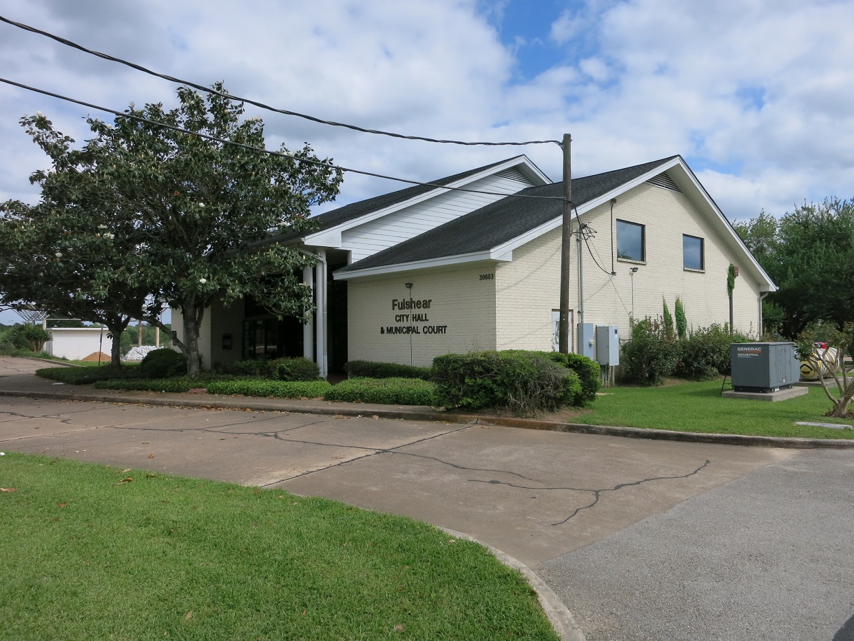
Katy and Fulshear fall within Regulatory Area 3, which covers northern and western Harris County. Providers there cannot use more than 40% groundwater under current rules, according to Click2Houston. That cap drops to 20% by 2035, confirmed by the district's regulatory plan.
Mike Turco, the district's general manager, said subsidence in these areas is directly related to the amount of groundwater being used.
Sinking may not stop right away
Even after communities cut groundwater use, subsidence may not halt immediately. Turco said the timeline depends on local geology and how much subsidence has already occurred.
He pointed to coastal areas where the district began regulating groundwater in the late 1970s and early 1980s. Some monitoring stations did not show subsidence reaching zero until five to 10 years later.
"What we've seen down there is that the subsidence rates have flattened out," Turco said, according to Click2Houston. He said the district expects a similar pattern in western Harris County as communities shift to alternative water supplies.
What homeowners should know
Foundation cracks do not automatically mean subsidence is to blame, according to Click2Houston. Soil conditions, drainage problems, tree roots and plumbing leaks can also cause foundations to move. The district has an interactive map showing subsidence rates across the region from 2021 to 2025 so residents can check measured sinking in their area.
Residents who have not yet been connected to surface water may already see a regional water authority charge on their bills. Those fees help fund the infrastructure that will eventually serve communities farther from the water source, Hansen said.