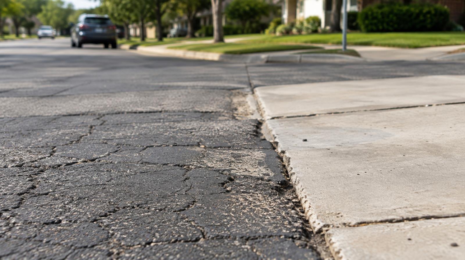
Greater Katy stretches across three counties, and the government that fixes your road, answers your 911 call or sets your property tax rate depends on which side of a boundary your house sits on.
Neighborhoods such as Cinco Ranch, Elyson, Firethorne and Tamarron carry Katy mailing addresses but sit outside the incorporated City of Katy, The Katy News reported. County governments and special-purpose districts handle most day-to-day services for those residents.
The split touches nearly every public service.
Inside city limits, the City of Katy's public works department and Katy Police Department handle roads and law enforcement. Outside, those jobs fall to Harris, Fort Bend or Waller County road and bridge departments, sheriff's offices and constables. State highways and farm-to-market roads belong to the Texas Department of Transportation (TxDOT). Harris County Emergency Services District No. 48 alone reports serving roughly 160,000 residents in western unincorporated Harris County, a territory covering many Katy-area neighborhoods and schools. Not every homeowner with a Katy address pays City of Katy property taxes; only properties inside the incorporated city do.
MUDs set their own tax rates
Most subdivisions outside city limits get water and sewer service from a Municipal Utility District (MUD), a special taxing district created by the state in 1971 to finance and maintain water, sewer and drainage systems. Each MUD is governed by an elected five-member board that meets in public under the Texas Open Meetings Act.
One development can span several districts. Cross Creek Ranch sits across five MUDs: Fort Bend County MUDs 169 through 173, according to an analysis by Robert Gordon on Substack. For the 2025 tax year, those five districts' adopted rates ranged from $0.68 to $1.30 per $100 of assessed value. Two neighbors in the same master-planned community can owe different MUD taxes.
Detention ponds doing flood-control work are the MUD's responsibility to maintain. Amenity lakes with fountains and walking trails usually belong to the homeowners association.
Flood coalition shows the stakes
The jurisdictional patchwork has real consequences when storms hit. On Sept. 1, leaders from Harris County, Waller County, the Harris County Flood Control District, the City of Katy and the Brookshire-Katy Drainage District signed a nonbinding memorandum of understanding to coordinate flood protection, My Neighborhood News reported.
"Floodwaters don't stop at county lines or city limits, and neither can our response," Katy Mayor Dusty Thiele said at the Sept. 1 signing ceremony.
Brookshire-Katy Drainage District General Manager Stan Kitzman said nobody envisioned 33 years ago that roughly 200,000 people would live around Katy. Waller County's population alone has grown about 15% over the past five years, according to the coalition's announcement. The coalition's initial priorities include a Cypress Creek study examining how water flows between Harris and Waller counties, coordinated drainage improvements near Cane Island and additional flood-monitoring gauges.
How to find out who serves you
The City of Katy offers an online tool at cityofkaty.com to check whether a property falls within city limits. County appraisal district records list every taxing entity tied to a property. The Texas Commission on Environmental Quality (TCEQ) maintains a search tool for identifying MUDs, and Katy ISD publishes an online school-boundary map.
The Katy City Council's next meeting is Monday, Oct. 12, at 6:30 p.m. at City Hall, 901 Avenue C. The city's main number is 281-391-4800.